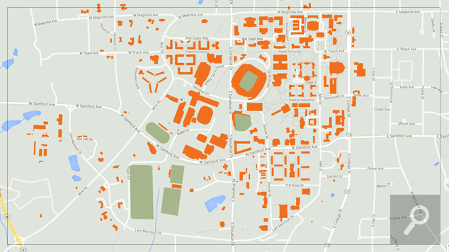
A geographic information system (GIS) is a computer system for capturing, storing, checking, and displaying data related to positions on Earth’s surface. GIS can show many different kinds of data on one map. This enables people to more easily see, analyze, and understand patterns and relationships.
If you are planning on buying a home in Auburn or buying a home in Opelika I would encourage you to check out the Lee County Alabama GIS website as you can obtain more detailed information about the property you are considering purchasing as well as the surrounding property.


